Severe thunderstorm watch is effect for the majority of East Texas until 9 p.m.
Published 8:01 pm Monday, April 11, 2016
(Update) 7:28 p.m. – Severe Thunderstorm Warning for Wood and Smith Counties until 8:15 p.m.
7:06 p.m. – Tornado warning for Harrison and Marion Counties until 8 p.m.
Trending
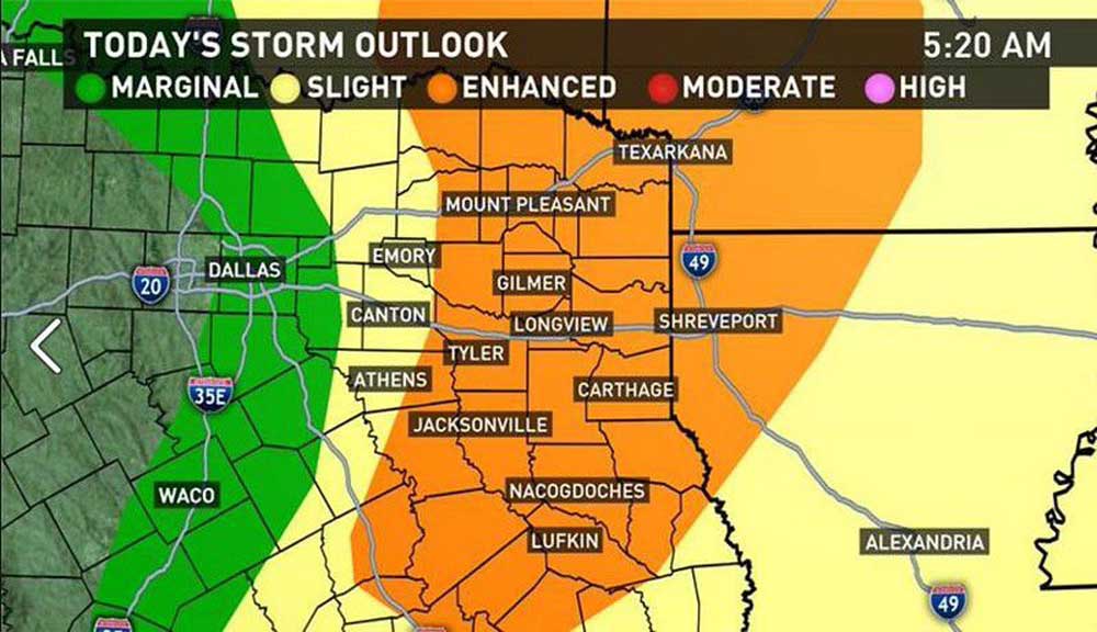
(KYTX) – A severe thunderstorm watch is effect for the majority of East Texas until 9 p.m. Monday.
The main threat will revolve around potential for large hail, according to meteorologists with KYTX CBS19. Strong winds are the secondary concern, followed by the possibility for a few tornadoes. That being said, the tornado threat is much lower on the scale, but can never be ruled out.
Flooding is not of significant concern, with rainfall totals expected to run in the quarter- to half-inch range, along and north of Interstate 20.
“We’ll see widespread half- to one-and-a-quarter-inch totals across the Nacogdoches/Lufkin area,” a meteorologist said.
Trending

-
eEdition
-
-
