East Texans experience severe thunderstorms, flash flood watch Sunday
Published 11:07 pm Sunday, April 2, 2017
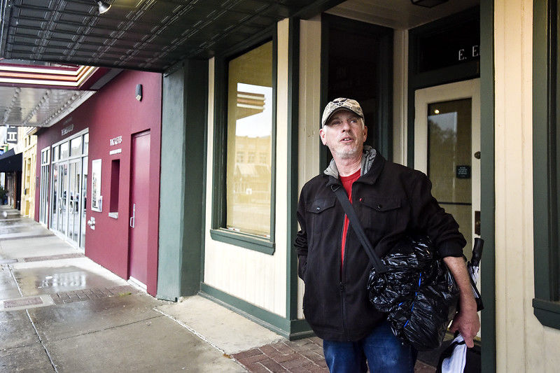
- John Massey watches the rain and waits for it to clear downtown in Tyler, Texas, on Sunday, April 2, 2017. (Chelsea Purgahn/Tyler Morning Telegraph)
Portions of East Texas experienced severe thunderstorms Sunday morning and into the early afternoon, but Tyler missed the brunt of the hazardous weather.
Flash flood and tornado watches were issued due to several rounds of supercell thunderstorms, but were canceled early in Tyler once the National Weather Service saw that the most severe storms would be hitting southeast of the city.
Trending
Tyler received a daily average of .66 of an inch of rainfall and Longview .85 of an inch, while Lufkin received 2.38 inches, a daily record.
At the height of the storm, nearly 20,000 East Texans were without power, according to Oncor. At 8:15 p.m. Sunday, about 3,000 customers, mostly in Lufkin and Palestine, were still without power and were expected to regain power early Monday morning.
Traffic control lights at numerous intersections in south Tyler lost power in the afternoon.
Most outages around East Texas were high-wind related.
Hail as large as one-and-a-half inches, nearly the size of a golf ball, was reported southeast of Tyler in Center.
According to the National Weather Service in Shreveport, Louisiana, there may have been some tornado activity in north Louisiana.
Trending
Thunderstorms will be possible late Tuesday and early Wednesday as another upper trough and cold front move across the Southern Plains, but the National Weather Service doesn’t anticipate major impacts for East Texas.

-
eEdition
-
-
