Rainfall breaks August heat, still below normal
Published 7:13 pm Tuesday, August 13, 2013
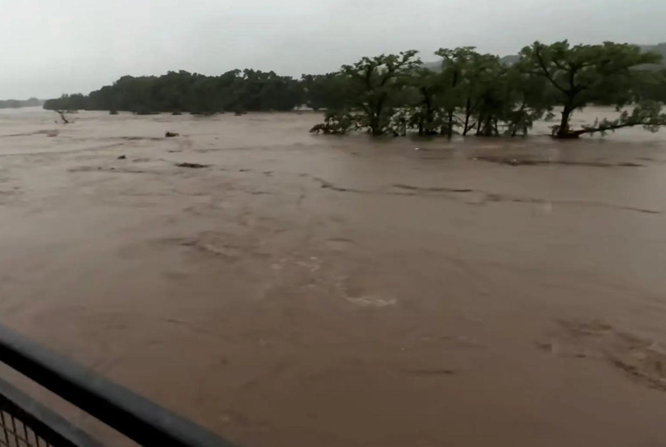
Wednesday’s rains will bring a break in the August heat, but the Tyler area still is well below its average annual rainfall total.
KYTX CBS 19 Meteorologist Doc Deason said he expected around an inch to an inch and a quarter of rainfall over the area as small thunderstorms popped up and dissipated Tuesday afternoon and evening. The showers were expected to continue through this afternoon.
Severe thunderstorm warnings were issued for parts of Smith, Wood and Van Zandt Counties, but Deason said the main concern was for potential high winds.
The showers were “a little better than garden-variety summer thunderstorms,” with heavy downpour, gusts of wind and lightning, said Brandi Richardson, meteorologist with the National Weather Service Shreveport.
The rain is a result of outflow from a cold front and thunderstorms in Oklahoma, Ms. Richardson said. The cold front and resulting thunderstorms sent out a southward wave of cold air, which mixed with hot air in East Texas during the heat of the day, resulting in the isolated thunderstorms.
Deason said the result will be unseasonable cool days through the end of the weekend with morning temperatures in the 60s and highs in the upper 80s and lower 90s.
Deason said the rainfall will be a good, soaking rain but did not expect the water to lay standing long. As of Monday evening, Tyler had received a total of 21.21 inches of rainfall for the year, which is 7.96 inches short of its average 27.34 for this point in the year, according to the National Weather Service.
“July was a little wetter than what we saw in June, but this is our typical lull for rainfall,” Ms. Richardson said. “We are still running around 10 inches below normal for the year, and we are a pretty good bit below (average rainfall totals) most months.”


-
eEdition
-
-
