NWS Shreveport says Beryl damage surveys could take several days
Published 3:30 pm Wednesday, July 10, 2024
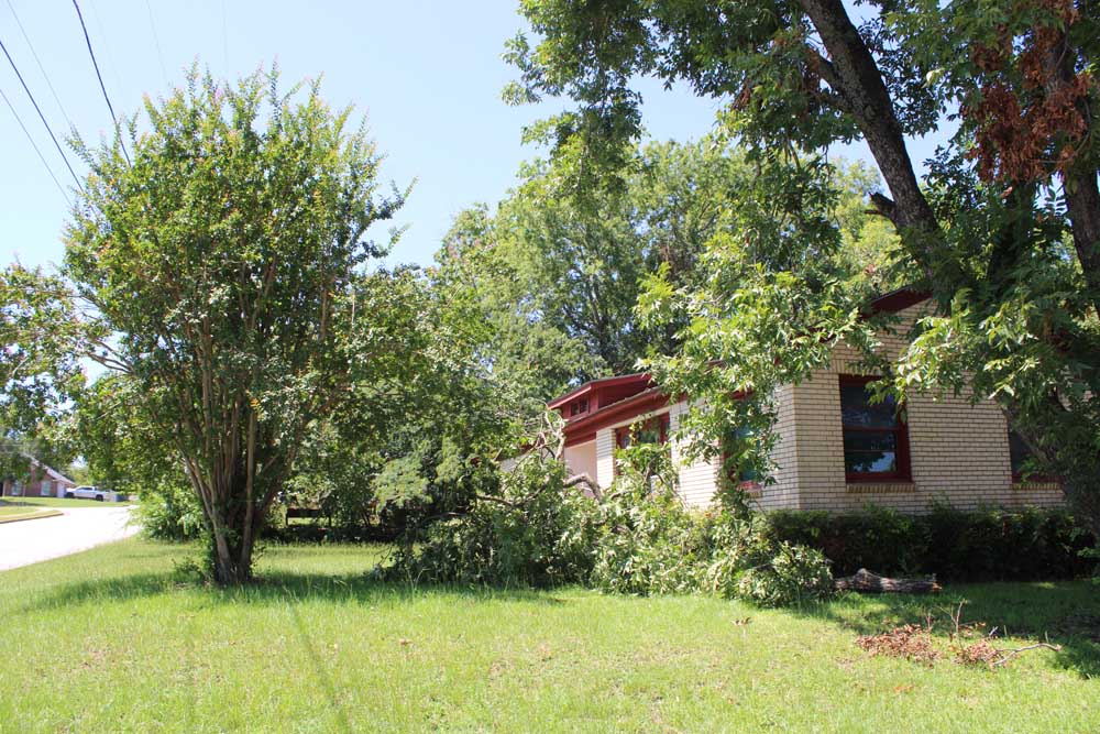
- Fallen tree branches at a house on West 27th Street in Tyler after storm Beryl rolled through. (Jennifer Scott/Tyler Morning Telegraph)
From Staff Reports
The National Weather Service in Shreveport is continuing to survey storm damage from Tropical Storm Beryl on Wednesday, and says it may take several days to finish.
A damage survey team spent Tuesday around DeSoto and Bossier parishes in Louisiana and confirmed five tornados:
An EF-1 in Plain Dealing
An EF-1 in Haughton-Benton
An EF-1 in Elm Grove
An EF-2 in Pleasant Hill
An EF-2 in Converse
Teams were trying to survey areas in Harrison and Shelby counties, as well as Caddo, DeSoto, Sabine, Webster and Union parishes in Louisiana and Union and Columbia counties in Arkansas, on Wednesday.
“These surveys are in relation to suspected tornadoes that occurred as Tropical Storm Beryl moved across the area during the afternoon and evening hours of Monday, July 8th, 2024,” the NWS said. “A final assessment including the results of these surveys are expected to be completed and transmitted via a Public Information Statement this evening. Additional surveys are likely to be conducted in the coming days.”
Officials with the weather service asked for the public’s patience as survey crews complete their work.
Radar observations Monday indicated several tornadoes spun up in East Texas, according to NWS. Meteorologists saw several areas of rotation with debris signatures, which are radar indications showing material such as dirt, debris and trees flying through the air.
“There is a good chance that we do have quite a few tornadoes across the area,” NWS meteorologist Ryan Knapp said Tuesday.
Wind gusts between 40 and 50 mph were reported across East Texas, and several counties received between 4 and 6 inches of rain, according to weather service data.
The National Weather Service in Shreveport issued 67 tornado warnings between 12:19 p.m. and 8:20 p.m. Monday. That’s the highest number of tornado warnings ever issued by a National Weather Service office during the month of July, meteorologist Ryan Knapp said. It’s also the highest number of warnings issued by the weather service in Shreveport during a single-day event. The previous record was 36 set Dec. 27, 2015.
Meteorologists issued 111 tornado warnings throughout Beryl’s path across Texas, Louisiana and Arkansas, Knapp said.
The storm saturated the region with heavy rainfall, damaging property and leaving tens of thousands without power. Power had been restored to nearly all homes and businesses in Smith and surrounding counties as of Wednesday.
Despite the high winds and heavy rains, emergency management officials in Smith County said damage and flooding were minimal and less severe than earlier spring storms that hammered the region.


-
eEdition
-
-
