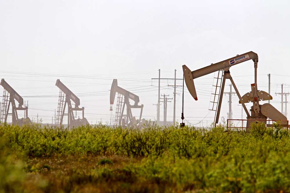
Drilling report: Oct. 6-12, 2024
Published 5:00 am Wednesday, October 30, 2024
- Latshaw Drilling Rig
DRILLING
County Operator Lease/Well Field Survey Type Depth Location
Cass Rose City Resources LLC. Marsh/1H Hidden Rock Davis, J. oil 13000 1.7 miles southwest of Linden
Harrison Sabine Oil & Gas Corporation Bergin H/8H Carthage (Haynesville Shale) Anderson, B. gas 12200 8.5 miles north of Longview
Harrison Sabine Oil & Gas Corporation Bergin I/9H Carthage (Haynesville Shale) Anderson, B. gas 12200 8.5 miles north of Longview
Panola R. Lacy Services LTD. Red Wings HV I/9HH Carthage (Haynesville Shale) Duboise, A. Sr. gas 12000 5 miles northeast of Beckville
Panola Sabine Oil & Gas Corporation Bird-Carter C/3H Carthage (Haynesville Shale) Pace, John gas 12000 10.5 miles northeast of Carthage
Panola R. Lacy Services LTD. Red Wings HV G/7HH Carthage (Haynesville Shale) Duboise, A. Sr. gas 12000 5 miles northeast of Beckville
San Augustine Aethon Energy Operating LLC. Bly-Byrd A/1H Carthage (Haynesville Shale) Davis, A.M. gas 14300 4.4 miles northwest of San Augustine
San Augustine Aethon Energy Operating LLC. Bly-Pike A/2H Carthage (Haynesville Shale) Davis, A.M. gas 14300 4.4 miles northwest of San Augustine
COMPLETIONS
County Operator Lease/Well Field Depth Flow Rate (42 Hrs.) Choke Size Location
Cass Rose City Resources LLC. Lane/1 Hidden Rock 11375 N/A N/A 1.2 miles west of Linden
Cass Rose City Resources LLC. Knowles/1 Hidden Rock 11747 N/A N/A 5.2 miles east of Linden
Cass Rose City Resources LLC. Alford/1 Hidden Rock 11615 N/A N/A 6.9 miles northeast of Avinger
Cass Rose City Resources LLC. Graham/1 Hidden Rock 11510 N/A N/A 8.7 miles southwest of Linden
Harrison Comstock Oil & Gas LLC. Verhalen Alloc B/2H Carthage (Haynesville Shale) 11223 N/A N/A 9 miles southeast of Marshall
Harrison RFE Operating LLC. Taylor-Collier/1H Woodlawn 9586 N/A N/A 6.1 miles southeast of Jefferson
Henderson Atmos Pipeline Texas Tri-Cities Gas Storage Unit/20B Tri-Cities 7712 N/A N/A 7.5 miles southwest of Athens
Marion Buffco Production Inc. Taylor, O.B./1 Whelan 7812 N/A N/A 6 miles northwest of Jackson
Nacogdoches Exco Operating Company LP. Walker SU E-D Alloc A/1H Carthage (Haynesville Shale) 14629 N/A N/A 5.8 miles northeast of Etoile
Panola Rockcliff Energy Operating LLC. Trosper-Tiller Crenshaw HV Unit A/1H.. Carthage (Haynesville Shale) 10889 21927 30/64 5 miles northeast of DeBerry
Panola RFE Operating LLC. Beckville No. 1 Gas Unit/1H Beckville 10401 N/A N/A 2.1 miles northeast of Tatum
Wood Atlantis Oil Company Inc. Stone Johnson/1R Quitman 6360 N/A N/A 3.7 northwest of Quitman
— The drilling report was produced with data from the Texas Railroad Commission from Oct. 6-12, 2024, following counties were searched: Anderson, Angelina, Camp, Cass, Cherokee, Dallas, Ellis, Franklin, Freestone, Gregg, Harrison, Henderson, Houston, Kaufman, Leon, Limestone, Marion, Nacogdoches, Navarro, Panola, Rains, Robertson, Rusk, San Augustine, Shelby, Smith, Upshur, Van Zandt and Wood.


-
eEdition
-
-
