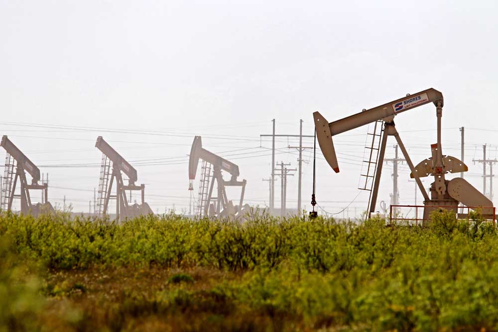
Drilling report: Nov. 24-30, 2024
Published 5:00 am Wednesday, December 18, 2024
- Latshaw Drilling Rig
DRILLING
County Operator Lease/Well Field Survey Type Depth Location
Trending
Angelina Aethon Energy Operating LLC. Antero/1H Carthage (Haynesville Shale) Holloway, L. gas 18000 2.4 miles north of Huntington
Angelina Aethon Energy Operating LLC. Diamer/1H Carthage (Haynesville Shale) Holloway, L. gas 18000 2.4 miles north of Huntington
Angelina Aethon Energy Operating LLC. Antero-Bolivar A/1H Carthage (Haynesville Shale) Holloway, L. gas 18000 2.4 miles north of Huntington
Cass Rose City Resources LLC. Nelson/1H Hidden Rock Davis, J. oil 13000 1.8 miles southwest of Linden
Harrison Comstock Oil & Gas LLC. Thanos TA/1H Carthage (Haynesville Shale) Borden, T.H. gas 13000 9 miles southeast of Marshall
Leon Comstock Oil & Gas LLC. Hutto Rodell/1H Bald Prairie Fisher, W.S. gas 25000 4.3 miles southeast of Jewett
Trending
Robertson Wildfire Energy Operating LLC. Lightsey B/3HE Aguila Vado Coley, W. oil 8500 3.2 miles east of Mumford
Robertson Wildfire Energy Operating LLC. Lightsey C/5HE Aguila Vado Coley, W. oil 8500 3.2 miles east of Mumford
Robertson Wildfire Energy Operating LLC. Milky Way/1HE Aguila Vado McMillen, A. oil 8500 3.8 miles northeast of Mumford
Robertson Wildfire Energy Operating LLC. Asteroid/1HE Aguila Vado Patterson, E. oil 8500 4.3 miles northeast of Mumford
San Augustine Pine Wave Energy Partners LLC. Olympia Fields/1HB Carthage (Haynesville Shale) Phelps, A. gas 13500 4.2 miles southwest of San Augustine
COMPLETIONS
County Operator Lease/Well Field Depth Flow Rate (42 Hrs.) Choke Size Location
Anderson John Linder Operating Co. LLC. Royal/19I Camp Hill 605 N/A N/A 4.6 miles northeast of Elkhart
Anderson John Linder Operating Co. LLC. Royal/9I Camp Hill 605 N/A N/A 4.6 miles northeast of Elkhart
Anderson John Linder Operating Co. LLC. Delaney A/1I Camp Hill 574 N/A N/A 4.6 miles northwest of Slocum
Anderson John Linder Operating Co. LLC. Delaney A/15I Camp Hill 530 N/A N/A 4.6 miles northwest of Slocum
Anderson John Linder Operating Co. LLC. Delaney A/9RI Camp Hill 535 N/A N/A 4.6 miles northwest of Slocum
Anderson John Linder Operating Co. LLC. Delaney A/29I Camp Hill 588 N/A N/A 4.6 miles northwest of Slocum
Anderson John Linder Operating Co. LLC. Delaney A/10I Camp Hill 514 N/A N/A 4.6 miles northwest of Slocum
Anderson John Linder Operating Co. LLC. Delaney A/5I Camp Hill 568 N/A N/A 4.6 miles northwest of Slocum
Anderson John Linder Operating Co. LLC. Temple-Eastex C/18I Camp Hill 516 N/A N/A 4.6 miles northwest of Slocum
Anderson John Linder Operating Co. LLC. Royal/10I Camp Hill 605 N/A N/A 4.6 miles northeast of Elkhart
Camp John Linder Operating Co. LLC. Newsome Unit/161 Newsome 8312 N/A N/A 1.8 miles east of Newsome
Camp John Linder Operating Co. LLC. Newsome Unit/261 Newsome 8400 N/A N/A 2.2 miles west of Leesburg
Henderson XTO Energy Inc. Texie Young A/1 Tri-Cities 4807 N/A N/A 5 miles west of Athens
Panola R. Lacy Services LTD. Woolworth HV F/6HH Carthage (Haynesville Shale) 11219 14497 32 10.5 miles north of Carthage
Rusk John Linder Operating Co. LLC Watkins, M./6AW East Texas 3700 N/A N/A 4.2 miles east of Overton
Shelby Ellora Energy Inc. Shull/1FH Huxley 3228 113 0/64 2.8 miles west of Huxley
— The drilling report was produced with data from the Texas Railroad Commission from Nov. 24-30, 2024, following counties were searched: Anderson, Angelina, Camp, Cass, Cherokee, Dallas, Ellis, Franklin, Freestone, Gregg, Harrison, Henderson, Houston, Kaufman, Leon, Limestone, Marion, Nacogdoches, Navarro, Panola, Rains, Robertson, Rusk, San Augustine, Shelby, Smith, Upshur, Van Zandt and Wood.


-
eEdition
-
-
