Drilling report: Nov. 17-23, 2024
Published 5:00 am Wednesday, December 11, 2024
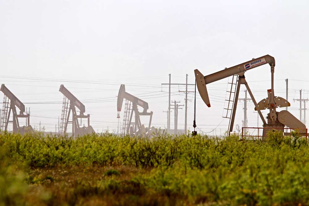
- Latshaw Drilling Rig
DRILLING
County Operator Lease/Well Field Survey Type Depth Location
Trending
Cherokee Mud Creek Operating LLC. Threetree/1 Wildcat Thompson, J.A. oil or gas 5000 4.6 miles north of Maydelle
Harrison Sabine Oil & Gas Corporation Furrh-Elum-Harper/2H Carthage (Haynesville Shale) Anderson, B. gas 12500 15 miles southeast of Marshall
Panola Sabine Oil & Gas Corporation Bird-Carter-Furrh A/1H Carthage (Haynesville Shale) Lefoy, C. gas 12000 10.85 miles northeast of Carthage
Panola TGNR East Texas II Whitaker HV Unit B/2H Carthage (Haynesville Shale) Scantlebury, W. gas 13,000 1 mile north of Carthage
Panola TGNR East Texas II LLC. Reeves-Anderson HV Unit D/4H Carthage (Haynesville Shale) Straw, L. gas 11500 2.5 miles north of DeBerry
Panola TGNR East Texas II LLC. Reeves-Anderson HV Unit E/5H Carthage (Haynesville Shale) Straw, L. gas 11500 2.5 miles north of DeBerry
Trending
Panola TGNR East Texas II LLC. T.A. Greer HV Unit A/1H Carthage (Haynesville Shale) Straw, L. gas 11500 2.5 miles north of DeBerry
Panola TGNR East Texas II LLC. Whitaker HV Unit C/3H Carthage (Haynesville Shale) Scantlebury, W. gas 13000 1 mile north of Carthage
Panola Sabine Oil & Gas Corporation Bird-Carter-Furrh B/2H Carthage (Haynesville Shale) LeFoy, C. gas 12000 10.85 miles northeast of Carthage
Panola Sabine Oil & Gas Corporation LeFoy-Lewin C/3H Carthage (Haynesville Shale) LeFoy, C. gas 10.85 miles northeast of Carthage
Robertson HilCorp Energy Company Moss Gas Unit/1 Bald Prairie Nixon, G.A. gas 14500 4.5 miles southwest of Hearne
Rusk Sabine Oil & Gas Corporation Helvenston A HS/1H Carthage (Haynesville Shale) Simon, E. gas 12000 1.5 miles northwest of Tatum
Rusk Sabine Oil & Gas Corporation Helvenston B HS/2H Carthage (Haynesville Shale) Simon, E. gas 12000 1.5 miles northwest of Tatum
San Augustine Aethon Energy Operating LLC. Harvey/1B Carthage (Haynesville Shale) Sinclair, C. gas 15000 6.5 miles south of San Augustine
San Augustine Aethon Energy Operating LLC. Banana/1HB Carthage (Haynesville Shale) Sinclair, C. gas 6.5 miles south of San Augustine
San Augustine Aethon Energy Operating LLC. Horst West/1H Carthage (Haynesville Shale) Johnson, J. gas 16000 5 miles northwest of Broaddus
San Augustine Aethon Energy Operating LLC. Horst East/1HB Carthage (Haynesville Shale) Johnson, J. gas 16000 5 miles northwest of Broaddus
Shelby Silver Hill Energy Operating LLC. USA Cothrom Unit S1/1H Carthage (Haynesville Shale) Lindsey, C. gas 14000 3.3 miles southeast of Shelbyville
Shelby Silver Hill Energy Operating LLC. USA Cothrom Unit S2/2H Carthage (Haynesville Shale) Lindsey, C. gas 14000 3.3 miles southeast of Shelbyville
Shelby Silver Hill Energy Operating LLC. USA Cothrom Unit S3/3H Carthage (Haynesville Shale) Lindsey, C. gas 14000 3.3 miles southeast of Shelbyville
Shelby Silver Hill Energy Operating LLC. USA Cothrom Unit S4/4H Carthage (Haynesville Shale) Lindsey, C. gas 14000 3.3 miles southeast of Shelbyville
COMPLETIONS
County Operator Lease/Well Field Depth Flow Rate (42Hrs.) Choke Size Location
Anderson John Linder Operations Co. LLC. Royal/25I Camp Hill 581 N/A: N/A 4.6 miles northeast of Elkhart
Anderson John Linder Operations Co. LLC. Temple Eastex/3I Camp Hill 488 N/A N/A 4.2 miles northwest of Slocum
Anderson John Linder Operations Co. LLC. Moore, R.M. B/2D Camp Hill 550 N/A N/A 8 miles southeast of Palestine
Anderson John Linder Operations Co. LLC. Delaney A/4I Camp Hill 550 N/A: N/A 4.6 miles northwest of Slocum
Anderson John Linder Operations Co. LLC. Delaney A/9RI Camp Hill 535 N/A: N/A 4.6 miles northwest of Slocum
Anderson John Linder Operations Co. LLC. Moore, R.M. B/12I Camp Hill 490 N/A N/A 9 miles southeast of Palestine
Anderson John Linder Operations Co. LLC. Temple Eastex/1I Camp Hill 519 N/A: N/A 4.2 miles northwest of Slocum
Anderson John Linder Operations Co. LLC. Temple Eastex/4I Camp Hill 566 N/A N/A 4.6 miles northeast of Elkhart
Anderson John Linder Operations Co. LLC. Temple Eastex C/10I Camp Hill 610 N/A N/A 4.6 miles northwest of Slocum
Anderson John Linder Operations Co. LLC. Moore, R.M. B/14I Camp Hill 494 N/A N/A 9 miles southeast of Palestine
Anderson Rock Bottom Oil GP LLC. Pendley, Martin HRS/3 Camp Hill 490 N/A N/A 11.5 miles east of Palestine
Harrison Sheridan Production Co. III LLC. Woodlawn East SWD/1 Woodlawn 6850 N/A N/A 12.3 miles northwest of Waskom
Navarro Kilmarnock Oil Company Inc. McKie, W.J. A/1 Powell 3306 N/A N/A 8 miles southeast of Corsicana
Panola Pedernales Petroleum OP LLC. Real/1 Hallsville, E. 6700 N/A N/A 6 miles east of Tatum
Panola TGNR East Texas LLC. SEC 8 Priestly B/5HH Carthage (Haynesville Shale) 10502 8296 36/64 4.3 miles southeast of Carthage
Panola TGNR East Texas LLC. SEC 8 Priestly C/6HH Carthage (Haynesville Shale) 10581 8816 36/64 4.3 miles southeast of Carthage
Panola Sabine Oil & Gas Corporation North Hickey E/5H Carthage (Haynesville Shale) 11015 16220 30/64 13 miles northeast of Carthage
Panola Sheridan Production Co. III LLC. Hull Unit A/A22 Carthage 9715 N/A N/A 7 miles southeast of Carthage
Panola Sheridan Production Co. III LLC. Roberts Unit/2 Carthage 6497 N/A N/A 4.3 miles north of Carthage
Shelby Amplify Energy Operating LLC. Taylor, W.M./1 Joaquin 8614 N/A N/A 35 miles south of Joaquin
Upshur Sabine Oil & Gas Corporation Landers-Camp A/1H Gilmer 11066 7166 40/64 5.5 miles northwest of Upshur
Van Zandt Basa Resources Inc. Bracken, J.A. 35/4 Van 2997 N/A N/A within Van
— The drilling report was produced with data from the Texas Railroad Commission from Nov. 17-23, 2024, following counties were searched: Anderson, Angelina, Camp, Cass, Cherokee, Dallas, Ellis, Franklin, Freestone, Gregg, Harrison, Henderson, Houston, Kaufman, Leon, Limestone, Marion, Nacogdoches, Navarro, Panola, Rains, Robertson, Rusk, San Augustine, Shelby, Smith, Upshur, Van Zandt and Wood.


-
eEdition
-
-
