Drilling report: Oct. 13-19, 2024
Published 5:00 am Tuesday, November 5, 2024
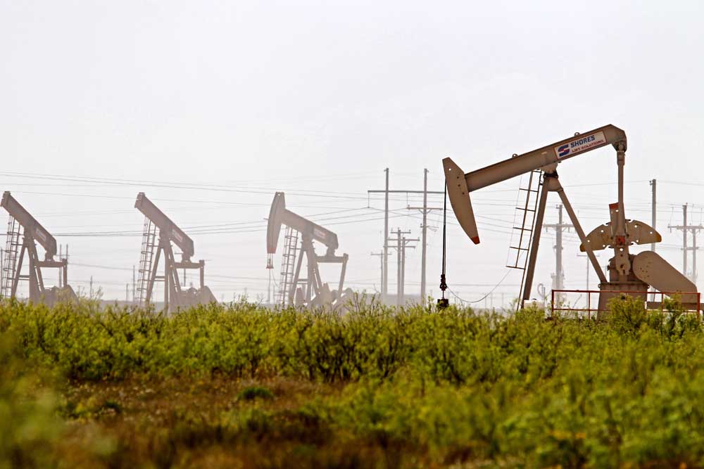
- Latshaw Drilling Rig
DRILLING
County Operator Lease/Well Field Survey Type Depth Location
Cass Rose City Resources LLC. Nelson/1H Hidden Rock Davis, J. oil 13000 1.8 miles southwest of Linden
Houston Kodiak Oil & Gas Inc. L.W. Huffman/10 Trinity Ellis, C.M. oil 2235 7 miles southwest of Lovelady
Nacogdoches Aethon Energy Operating LLC. Clous Gas Unit/5H Carthage (Haynesville Shale) Flores, HRS J. gas 14450 2 miles southwest of Martinsville
Panola Sabine Oil & Gas Corporation Mullins OVA/1H Carthage (Haynesville Shale) Ivy, J. gas 12000 8.5 miles northeast of Carthage
Panola Sabine Oil & Gas Corporation Mullins OVB/2H Carthage (Haynesville Shale) Ivy, J. gas 12000 8.5 miles northeast of Carthage
Panola Sabine Oil & Gas Corporation Mullins OVC/3H Carthage (Haynesville Shale) Ivy, J. gas 12000 8.5 miles northeast of Carthage
Panola TGNR East Texas II LLC. Whitaker HV Unit A/1H Carthage (Haynesville Shale) Scantlebury, W. gas 13000 1 mile north of Carthage
Panola AC Exploration LLC. Brady Estate/2 Wildcat McAdams, J. oil or gas 10000 15.1 miles southwest of Carthage
San Augustine Common Disposal LLC. Common SWD/2 Camp Worth Quirk, E. injection well 7700 2.5 miles northwest of San Augustine
San Augustine Brine Texas USA LLC. San Augustine SWD/1 Pine Grove, Simms, J. injection well 6200 5.6 miles northwest of Bronson
Shelby Select Water Solutions LLC. Harvco SWD/7 Joaquin Gray, A. injection well 6250 4 miles southeast of Joaquin
Smith Geosouthern Operating II LLC. Dare Unit/1H Girlie Caldwell Adams, W.H. oil 9500 9.8 miles northwest of Tyler
Wood Ark-La-Tex Energy LLC. Byers/1 Pine Mills Davis, S.H. oil 5950 2.21 miles southeast of Pine Mills
COMPLETIONS
County Operator Lease/Well Field Depth Flow Rate (42 Hrs.) Choke Size Location
Anderson Petralis Energy Resources LLC. Shead, Levi/1 Tennessee Colony, S.W. 9150 6.7 0.625 3 miles south of Tennesse Colony
Cass Valence Operating Company Mac Donnell B/1 Frost 10000 N/A N/A 5 miles northeast of Bryans Mill
Cass Rose City Resources LLC. Sundance/1 Hidden Rock 11940 N/A N/A 3.9 miles northwest of Avinger
Harrison RFE Operating LLC. T-C-EB/1H Woodlawn 9613 N/A N/A 6.1 miles southeast of Jefferson
Henderson Atmos Pipeline-Texas Tri-Cities Gas Storage Unit/30BH Tri-Cities 7582 N/A N/A 7.5 miles southwest of Athens
Nacogdoches Exco Operating Company LP. Walker SU E-D Alloc B/2H Carthage (Haynesville Shale) 14629 N/A N/A 5.8 miles northeast of Etoile
Panola Sheridan Production Co. III Whitaker Unit/2 Carthage, N. 3860 N/A N/A 2.5 miles northeast of Carthage
Panola Rockcliff Energy Operating LLC. Wallace HV Unit B/2H Carthage (Haynesville Shale) 10771 N/A N/A 2.75 miles east of DeBerry
Robertson Hilcorp Energy Company Perry Gas Unit/2 Oletha, SW. 12650 119 48/64 3.3 miles northeast of Calvert
Shelby Silver Hill Energy Operating LLC. USA Cothrom Unit 02/2H Carthage (Haynesville Shale) 12276 N/A N/A 5.1 miles southeast of Shelbyville
Shelby Brookston Energy Inc. Ellis SWD/2 Joaquin 8785 N/A N/A 2.9 miles southeast of Joaquin
Upshur East Tex Salt Water Disposal Co. Downing/4 East Texas 3809 N/A N/A 1 mile northeast of Gladewater
Upshur Sabine Oil & Gas Corporation Landers-Camp A/1H Gilmer 11066 N/A N/A 5.5 miles northwest of Upshur
Upshur Sabine Oil & Gas Corporation Landers-Rocky Creek A/1H Gilmer 11053 N/A N/A 5.5 miles northwest of Gladewater
Upshur Rose City Resources LLC. Morning Star/1 Hidden Rock 12125 N/A N/A 4.1 miles southwest of Lone Star
Van Zandt SND Energy Company Inc. Palmer A/14A Van 1252 N/A N/A 1 mile north of Van
— The drilling report was produced with data from the Texas Railroad Commission from Oct. 13-19, 2024, following counties were searched: Anderson, Angelina, Camp, Cass, Cherokee, Dallas, Ellis, Franklin, Freestone, Gregg, Harrison, Henderson, Houston, Kaufman, Leon, Limestone, Marion, Nacogdoches, Navarro, Panola, Rains, Robertson, Rusk, San Augustine, Shelby, Smith, Upshur, Van Zandt and Wood.


-
eEdition
-
-
