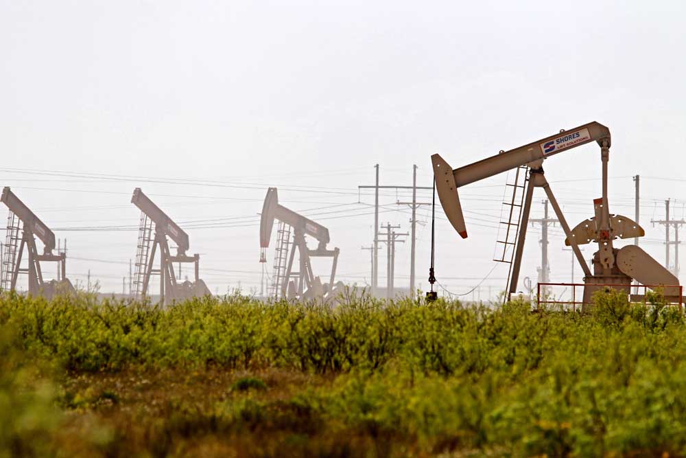
Drilling report: Sept. 15-21, 2024
Published 5:00 am Wednesday, October 9, 2024
- Latshaw Drilling Rig
DRILLING
County Operator Lease/Well Field Survey Type Depth Location
Freestone Petro-Chem Operating Company Inc. Keyes/2 Wildcat Wheeler, H. oil or gas 5500 13.2 miles southwest of Palestine
Gregg Sabine Oil & Gas Corporation Willow Springs A/1H Willow Springs Collard, J. gas 12000 8.5 miles north of Longview
Leon Comstock Oil & Gas LLC. Jennings-FSRA/1H Bald Prairie De La Concepcion Marquez, M. gas 25000 2.8 miles northwest of Marquez
Panola R. Lacy Services LTD. Tower HV C/3HH Carthage (Haynesville Shale) Lagrone, A. gas 12000 4 miles east of Tatum
Panola R. Lacy Services LTD. Tower HV D/4HH Carthage (Haynesville Shale) Lagrone, A. gas 12000 4 miles east of Tatum
Panola R. Lacy Services LTD. Red Wings HV G/7HH Carthage (Haynesville Shale) Duboise, A. Sr. gas 12000 5 miles northeast of Beckville
San Augustine Aethon Energy Operating LLC. Bly-Meir Pike A/3H Carthage (Haynesville Shale) Quirk, E. gas 14300 4.4 miles northwest of San Augustine
San Augustine Aethon Energy Operating LLC. Meir/4H Carthage (Haynesville Shale) Quirk, E. gas 14300 4.4 miles northwest of San Augustine
San Augustine Aethon Energy Operating LLC. Meir/5H Carthage (Haynesville Shale) Quirk, E. gas 14300 4.4 miles northwest of San Augustine
Shelby Brookston Energy Inc. Ellis SWD/2 Joaquin Robertson, R.A. injection well 8785 2.9 miles southeast of Joaquin
Shelby Select Water Solutions LLC. Joaquin SWD/1 Joaquin Dunahoe, P.W. injection well 5600 1.36 miles east of Joaquin
COMPLETIONS
County Operator Lease/Well Field Depth Flow Rate (42 Hrs.) Choke Size Location
Anderson Atmos Pipeline-Texas Bethel Salt Dome/1B Bethel Dome 5305 N/A N/A 2 miles south of Bethel
Angelina Aethon Energy Operating LLC. Brachi Unit/4HB Carthage (Haynesville Shale) 15506 26307 22 7.5 miles northeast of Lufkin
Angelina Aethon Energy Operating LLC. Brachi-Saber B/6HB Carthage (Haynesville Shale) 15449 27932 20 7.5 miles northeast of Lufkin
Harrison Rockcliff Energy Operating LLC. T.P. Smith HV Unit A/1H Carthage (Haynesville Shale) 10895 N/A N/A 3.5 miles southwest of Waskom
Harrison Comstock Oil & Gas LLC. Verhalen Alloc C/3H Carthage (Haynesville Shale) 11246 N/A N/A 9 miles southeast of Marshall
Harrison Buffco Production Inc. Weiser, Susanna Key/2 Carthage 10404 10 64/64 6.5 miles southeast of Marshall
Houston Kodiak Oil & Gas Inc. Huffman, L.W./13 Trinity 2246 N/A N/A 7 miles southwest of Lovelady
Kaufman Vinland Texas Services LLC. Hendricks, Jesse E./2 Prairieville 5151 N/A N/A 2 miles southeast of Prairieville
San Augustine Aethon Energy Operating LLC. Sacagawea/5H Carthage (Haynesville Shale) 13340 14854 18 4 miles northwest of San Augustine
San Augustine Aethon Energy Operating LLC. Sacagawea/6HB Carthage (Haynesville Shale) 12948 10428 18 4 miles northwest of San Augustine
San Augustine Aethon Energy Operating LLC. Sacagawea/7H Carthage (Haynesville Shale) 13372 15166 18 4 miles northwest of San Augustine
Shelby Aethon Energy Operating LLC. USA Fuel Unit/1HB Carthage (Haynesville Shale) 11724 N/A N/A 2.5 miles southwest of Huxley
Van Zandt Basa Resources Inc. Central Van Woodbine Unit/5011 Van 3004 N/A N/A within Van
— The drilling report was produced with data from the Texas Railroad Commission from Sept. 15-21, 2024, following counties were searched: Anderson, Angelina, Camp, Cass, Cherokee, Dallas, Ellis, Franklin, Freestone, Gregg, Harrison, Henderson, Houston, Kaufman, Leon, Limestone, Marion, Nacogdoches, Navarro, Panola, Rains, Robertson, Rusk, San Augustine, Shelby, Smith, Upshur, Van Zandt and Wood.


-
eEdition
-
-
