Drilling report: Sept. 8-14, 2024
Published 5:00 am Wednesday, October 2, 2024
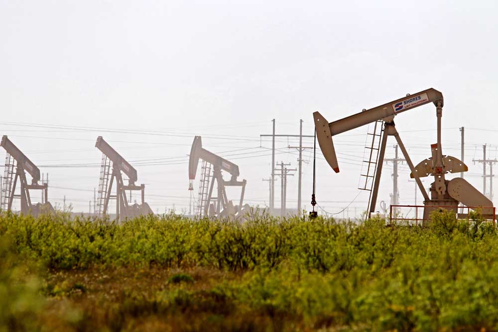
- Latshaw Drilling Rig
DRILLING
County Operator Lease/Well Field Survey Type Depth Location
Angelina Aethon Energy Operating LLC. Brachi Unit/4HB Carthage (Haynesville Shale) Holloway, C. gas 16500 7.5 miles northeast of Lufkin
Harrison Sabine Oil & Gas Corporation Bergin H/8H Carthage (Haynesville Shale) Anderson, B. gas 12200 8.5 miles north of Longview
Harrison Sabine Oil & Gas Corporation Bergin I/9H Carthage (Haynesville Shale) Anderson, B. gas 12200 8.5 miles north of Longview
Harrison TGNR East Texas II LLC. Riley-Rogers HV Unit B/2H Carthage (Haynesville Shale) Anderson, H. gas 13000 7.5 miles northwest of Waskom
Panola TGNR East Texas II LLC. T.A. Greer HV Unit A/1H Carthage (Haynesville Shale) Straw, L. gas 11500 2.5 miles north of DeBerry
Panola TGNR East Texas II LLC. Reeves-Anderson HV Unit B/2H Carthage (Haynesville Shale) gas 11500 2.5 miles north of DeBerry
Panola TGNR East Texas II LLC. T.A. Greer HV Unit B/2H Carthage (Haynesville Shale) Straw, L. gas 13000 2.5 miles north of DeBerry
Shelby Silver Hill Energy Operating LLC. USA Cothrom Unit K1/1H Carthage (Haynesville Shale) Fain, M. gas 14000 5.6 miles east of Shelbyville
Shelby Silver Hill Energy Operating LLC. USA Cothrom Unit K2/2H Carthage (Haynesville Shale) Fain, M. gas 14000 5.6 miles east of Shelbyville
COMPLETIONS
County Operator Lease/Well Field Depth Flow Rate (42 Hrs.) Choke Size Location
Angelina Aethon Energy Operating LLC. Brachi Unit/3H: Carthage (Haynesville Shale) 15841 27443 20 7.5 miles northeast of Lufkin
Angelina Aethon Energy Operating LLC. Brachi-Saber A/5H Carthge (Haynesville Shale) 15868 28523 20 7.5 miles northeast of Lufkin
Harrison Trinity Operating LLC. Haddad Unit/1H Carthage (Haynesville Shale) 10768 14496 29 5.94 miles north of Waskom
Harrison Trinity Operating LLC. Haddad Unit/3H Carthage (Haynesville Shale) 10746 15288 28 5.94 miles north of Waskom
Harrison Comstock Oil & Gas LLC. Cadenhead GBH B/2H Carthage (Haynesville Shale) 11229 22699 34 9 miles southeast of Marshall
Leon Comstock Oil & Gas LLC. Powell BD/1H Bald Prairie 18080 N/A N/A 2.4 miles northeast of Marquez
Limestone Crescent Pass Energy LLC. Maggie B. Brown/5 Personville 10950 2431 16/64 5.6 miles southeast of Groesbeck
Limestone Crescent Pass Energy LLC. Worsley/1 Personville 11217 N/A N/A 6.2 miles southwest of Teague
Marion Stroud Petroleum Inc. Kildare East Gloyd Unit/3102W Kildare 6079 N/A N/A 4 miles east of Lodi
Nacogdoches Aethon Energy Operating LLC. Leo-Nilla-Willow A/2HB Carthage (Haynesville Shale) 13053 13533 19 3.2 miles southwest of Martinsville
Nacogdoches BRG Lone Star LTD. Henderson/1H Loco Bayou 8994 N/A N/A 6 miles southwest of Nacogdoches
Panola DCP Operating Company LP. Carthage Gasoline Plant Fee 2826/2D Carthage 6193 N/A N/A 1 mile south of Carthage
Panola Sabine Oil & Gas Corporation Cadenhead TC B/2H Carthage (Haynesville Shale) 10951 19791 28/64 14 miles northeast of Carthage
Panola Sabine Oil & Gas Corporation North Hickey/2H Carthage (Haynesville Shale) 11017 N/A N/A 13 miles northeast of Carthage
Panola Valence Operating Company Carthage Gas Unit 17/10 Carthage (Haynesville Shale) 11350 N/A N/A 1.8 miles east of Clayton
Robertson Wildfire Energy Operating LLC. Flowers-Reistino Unit/4H Giddings 6335 N/A N/A 2.2 miles northeast of Mumford
— The drilling report was produced with data from the Texas Railroad Commission from Sept. 8-14, 2024, following counties were searched: Anderson, Angelina, Camp, Cass, Cherokee, Dallas, Ellis, Franklin, Freestone, Gregg, Harrison, Henderson, Houston, Kaufman, Leon, Limestone, Marion, Nacogdoches, Navarro, Panola, Rains, Robertson, Rusk, San Augustine, Shelby, Smith, Upshur, Van Zandt and Wood.


-
eEdition
-
-
