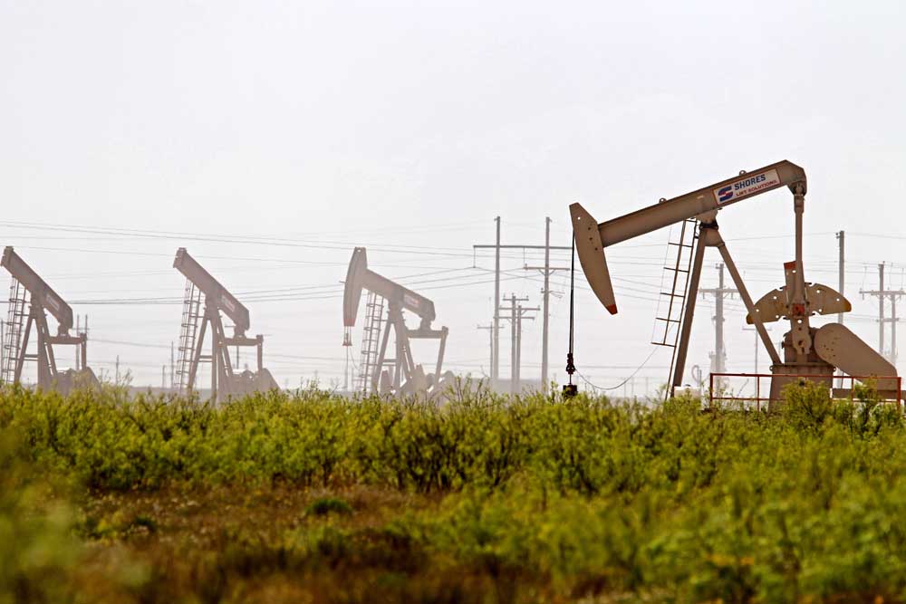
Drilling report: Aug. 18-24, 2024
Published 5:00 am Wednesday, September 11, 2024
- Latshaw Drilling Rig
DRILLING
County Operator Lease/Well Field Survey Type Depth Location
Harrison TGNR East Texas II LLC. Riley-Rogers HV Unit C/3H Carthage (Haynesville Shale) Anderson, H. gas 13000 7.5 miles northwest of Waskom
Harrison Tanos Exploration IV LLC. Whelan OU 3/1HU Whelan Hall, S.N. oil 7215 1 mile west of Harleton
Harrison TGNR East Texas II LLC. Vaughan-Jonesville HV Unit A/1H Carthage (Haynesville Shale) Clinton, J. gas 13000 5 miles northwest of Waskom
Harrison North Texas Oil & Gas LLC. Rollie C. Sims Gas Unit/9 Hallsville, S. Sorrell, J.M. oil or gas 10405 7.9 miles southeast of Hallsville
Panola Sabine Oil & Gas Corporation TC Cadenhead B/2H Carthage (Haynesville Shale) Pearce, S. gas 12000 14 miles northeast of Carthage
Panola Pinnergy LTD. Deadwood SWD/1 Carthage Sanford, L.S. injection well 6200 2.1 miles southeast of Deadwood
Robertson BBL Operating Company LLC. Great Balls of Fire/1 Giddings Mann, W. oil 9000 8.5 miles southeast of Hearne
San Augustine Coronado-Columbus B/2H Carthage (Haynesville Shale) Emmons, F.N. gas 14300 5 miles northwest of San Augustine
Shelby Silver Hill Energy Operating LLC. USA Cothrom Unit K10/10H Carthage (Haynesville Shale) Fain, M. gas 14000 5.6 miles east of Shelbyville
Shelby Silver Hill Energy Operating LLC. USA Cothrom Unit K11/11H Carthage (Haynesville Shale) Fain, M. gas 14000 5.6 miles east of Shelbyville
Van Zandt Basa Resources Inc. Bracken, J. A 35/4 Van Walling, J. oil or gas 2997 0.1 mile north of Van
COMPLETIONS
County Operator Lease/Well Field Depth Flow Rate (42 Hrs.) Choke Size Location
Harrison Valence Operating Company Shoults Riverstone/1 Woodlawn 10600 N/A N/A 9.6 miles northwest of Marshall
Harrison Enpower Resources Inc. Gill, H.H./4 Carthage, North 10093 N/A N/A 9.5 miles southeast of Marshall
Houston Kodiak Oil & Gas Inc. Huffman, L.W./12 Trinity 2150 N/A N/A 7 miles southwest of Lovelady
Leon Rusk Energy Operating LLc. Red Oak Unit/2001 Red Oak 6750 N/A N/A 1.2 miles northeast of Buffalo
Marion Fossil Energy Inc. Gulf/1W Marion County 2382 N/A N/A 4 miles northeast of Uncertain
Panola R. Lacy Services LTD. Parker No. 1 HV A/20HH Carthage (Haynesville Shale) 11160 17491 32 7 miles north of Carthage
Panola Rockcliff Energy Operating LLC. Morelock-White HV Unit B/2H Carthage (Haynesville Shale) 10926 N/A N/A 3.5 miles southeast of DeBerry
Panola R. Lacy Services LTD. Parker No. 1 HV C/22HH: Carthage (Haynesville Shale) 11171 15460 32 7 miles north of Carthage
Panola Sabine Oil & Gas Corporation Miles-Davis/1H Carthage (Haynesville Shale) 10955 N/A N/A 7.5 miles southeast of DeBerry
Panola Sabine Oil & Gas Corporation Miles-Davis/4H Carthage (Haynesville Shale) 10955 N/A N/A 7.5 miles southeast of DeBerry
Panola Sabine Oil & Gas Corporation North Hickey/1H Carthage (Haynesville Shale) 11100 N/A N/A 13 miles northeast of Carthage
Panola Sabine Oil & Gas Corporation Werner/2H Carthage (Haynesville Shale) 11091 N/A N/A 2.5 miles southeast of Deadwood
Panola RFE Operating LLC. Beckville/2 Beckville 111780 N/A N/A 5.1 miles northwest of Beckville


-
eEdition
-
-
