Smith County launches interactive Road and Office Closures Map
Published 5:35 am Saturday, May 18, 2024

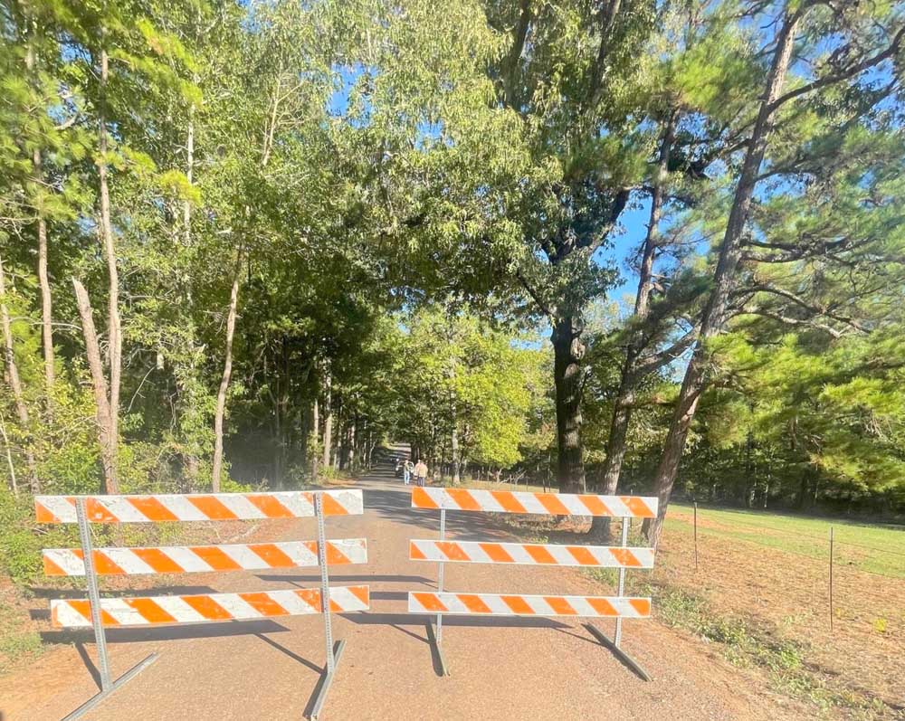
- A new interactive map shows Smith County roads closed due to flood hazards or maintenance like bridge construction. (Contributed Photo)
Earlier this week, Smith County launched a new Smith County Road and Office Closures Map.
The interactive map shows Smith County roads closed due to flood hazards or maintenance like bridge construction. It shows detours that can be taken and how long the road is expected to be closed. It also indicates any county offices that may be closed.
Trending
Smith County GIS Analyst Ethan Robinson, who created the specialized map site, said it is a visual aid to complement other public communications sent out by Smith County. He added that it is intended to be a “single pane of glass” for the public to view all road closures.
The map will also help Smith County’s Emergency Management Office, Road and Bridge Department, dispatch, law enforcement and other first responders.
“This will aid emergency management in our service to the community by providing near real-time information to our citizens during disasters,” Smith County Emergency Management Coordinator Brandon Moore said. “By allowing each citizen to access this platform, the individual can plan accordingly during disasters by utilizing information provided by county and first responder personnel.”
The link to the map is www.arcgis.com/apps/dashboards/fee1c492c0614d938d160e8829a51593.
It can also be found at www.smith-county.com; under the Citizen Resources section, a button called “County Road and Office Closures” will appear. It can also be found under the “I Want To” drop-down menu in the view column.
At the bottom of the map is an Instruction Tab with easy-to-use instructions.
Trending
The map is intended only to include county road closures, not city roads, highways or Farm-to-Market Roads. However, the bottom of the map tells users to visit https://drivetexas.org/ for city and TxDOT closures.
The map currently includes the closure of Ferguson Street, a city road, because it affects Smith County offices.
This map is the second interactive map Smith County has launched recently.
Smith County GIS Manager Phil Burkhart created the interactive voter location map. Users can input their address to see which voting precinct they are in and what will be on their ballot. People can find the “Interactive Map of Smith County” link on the current election information page at www.smith-county.com/government/departments/elections/current-election-information.


