Officials narrow potential routes for Toll 49 extension in Smith County
Published 6:15 pm Thursday, September 26, 2019
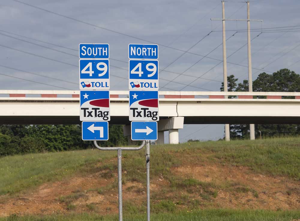
- Signage marks the south and north on-ramps from Highway 31 to Toll 49 in Tyler on Wednesday June 12, 2019. (Sarah A. Miller/Tyler Morning Telegraph)
East Texas officials have narrowed down the potential routes for the extension of Toll 49 that will complete the long-awaited outer loop that will run in a horseshoe around the city of Tyler.
The road in question is called Segment 6 of Toll 49, and is part of a decadeslong vision that started with encircling the city of Tyler but also includes building more roads out to more rural areas of East Texas.
Trending
The North East Texas Regional Mobility Authority announced Thursday that the routes under consideration will extend to U.S. Highway 271 in the northeastern part of Smith County but not cross Interstate 20 or go through New Chapel Hill.
NET RMA eliminated the pink, blue and orange routes from a group of six routes that were under consideration as recently as last week. NET RMA is proposing the purple route, or adjusted versions of the yellow and teal routes.
These routes are the closest to the city of Tyler’s boundaries and do not go through New Chapel Hill, which the mayor of that city said he opposed. The plan also eliminates the routes that went closest to Lake Tyler, which a group called Keep Loop Off Lake had opposed.
The three routes remaining are also closest of those previous six to the University of Texas Health Science Center at Tyler on Highway 271 and the University of Texas at Tyler on Spur 248 and Old Omen Road.
The purple and yellow routes run closest to UT Tyler and both hit their end points on Highway 271 east of the health science center. The teal route is farthest from UT Tyler and ends on the east side of the health science center.
Chris Miller, NET RMA’s executive director, said in an interview Thursday that his agency and its consultants with CP&Y have shared these results of the preliminary feasibility study with its board.
Trending
“The next step, the board will have a final report, formal report, at its next board meeting on Oct. 8,” Miller said. “The real serious environmental review work begins immediately.”
Members of the NET RMA board of directors are appointed by the Commissioners Courts of the counties that the agency serves. They are Bowie, Kaufman, Cherokee, Gregg, Harrison, Panola, Rusk, Smith, Titus, Upshur, Wood and Van Zandt.
“They’re very excited about the fact that this project is moving along,” Miller said. “This is part of a long-term plan for East Texas. This is (a culmination of) all the work that’s gone into the previous five segments of this road.
“That’s very important and it’s been a great asset to the region,” Miller said of the previous portions of Toll 49. “But without this segment, the long-term vision of connecting to areas as far east as Marshall and Harrison County really doesn’t happen.”
The next review is called an environmental impact study, and is required by the federal government, according to Andy Atlas, the head of the CP&Y consulting team. The intent to create it needs to be published in the federal register this fall, and the team will work with state and federal agencies.
“(We will do a) detailed dive into all of those issues that we look at from land use impacts, to community impacts, to air quality, to noise, to archaeology, water, biological,vegetation and endangered species, hazardous materials, and oil and gas wells,” Atlas said.
Atlas said the process continues to be long and methodical. He said public scoping work is tentatively scheduled for the spring, and the environmental impact study would not be complete until the second half of 2021. The studying might be done in 2022, he said, but construction would not yet start.
“We welcome input because the bottom line is that input makes the project better, and we recognize that as a team because it makes us take a hard look,” Atlas said. “And we get input that we may not even see without that contribution from stakeholders.”
Atlas said the group relishes public input. And he said they’re listening to concerns about people whose properties will need to be bought in several years to make way for the road.
“The shortest route is 10.37 miles on the new locations,” Atlas said. “You’re going to affect some people’s property. You’re going to have some residential dislocations and relocations. We want to minimize that.”
TWITTER and INSTAGRAM:
@_erinmansfield


-
eEdition
-
-
