Drilling report: Sept. 29-Oct. 5, 2024
Published 5:00 am Wednesday, October 23, 2024

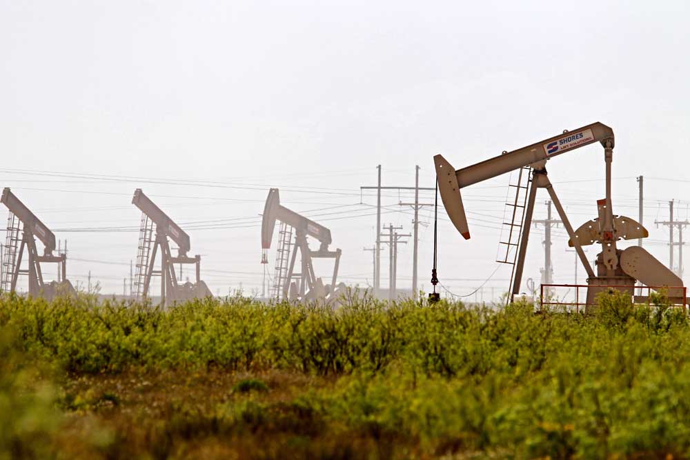
- Latshaw Drilling Rig
DRILLING
County Operator Lease/Well Field Survey Type Depth Location
Trending
Anderson Rock Bottom Oil LLC. Pendley, Martin HRS/3 Camp Hill Neville, H.W. oil 500 11.5 miles east of Palestine
Angelina Aethon Energy Operating LLC. Antero/1H Carthage (Haynesville Shale) Holloway, L. gas 18000 2.4 miles north of Huntington
Angelina Aethon Energy Operating LLC. Antero-Bolivar A/1H Carthage (Haynesville Shale) Holloway, L. gas 18000 2.4 miles north of Huntington
Angelina Aethon Energy Operating LLC. Diamer/1H Carthage (Haynesville Shale) Holloway, L. gas 18000 2.4 miles north of Huntington
Cass Rose City Resources LLC. Adams/1H Hidden Rock Isam, L.D. oil 13000 5.2 miles northeast of Avinger
Cass Rose City Resources LLC. GMFB/1H Hidden Rock Duncan, A.C. oil 13000 5.6 miles south of Linden
Trending
Cass Rose City Resources LLC. Walnut/1H Hidden Rock Duncan, A.C. oil 13000 5.5 miles south of Linden
Dallas TEP Barnett USA LLC. Barnes Assembly MIPA Unit A/4H Newark, East Beeman, W.H. oil or gas 9500 15.1 miles southeast of Dallas
Dallas WC Tollway Mipa Unit A/1H Newark, East Beeman, W.H. gas 9500 15.1 miles southwest of Dallas
Dallas WC Tollway Mipa Unit B/2H Newark, East Beeman, W.H. gas 9500 15.1 miles southwest of Dallas
Dallas WC Tollway Mipa Unit C/3H Newark, East Beeman, W.H. gas 9500 15.1 miles southwest of Dallas
Dallas WC Tollway Mipa Unit D/4H Newark, East Beeman, W.H. gas 9500 15.1 miles southwest of Dallas
Dallas WC Tollway Mipa Unit E/5H Newark, East Beeman, W.H. gas 9500 15.1 miles southwest of Dallas
Dallas WC Tollway Mipa Unit F/6H Newark, East Beeman, W.H. gas 9500 15.1 miles southwest of Dallas
Harrison Brookston Energy Inc. Gordon, C.A./1 Longwood Adams, W.H. oil or gas 6500 1.5 miles southeast of Jonesville
Harrison TGNR East Texas II LLC. Vaughan-Jonesville HV Unit B/2H Carthage (Haynesville Shale) Clinton, J. gas 13000 5 miles northwest of Waskom
Harrison TGNR East Texas II LLC. Vaughan-Jonesville HV Unit C/3H Carthage (Haynesville Shale) Clinton, J. gas 13000 5 miles northwest of Waskom
Harrison TGNR East Texas II LLC. Vaughan-Jonesville HV Unit D/4H Carthage (Haynesville Shale) Clinton, J. gas 13000 5 miles northwest of Waskom
Harrison TGNR East Texas II LLC. Vaughan-Jonesville HV Unit E/5H Carthage (Haynesville Shale) Clinton, J. gas 13000 5 miles northwest of Waskom
Panola Rockcliff Energy Operating LLC. Trosper Tiller Crenshaw HV A/1H Carthage (Haynesville Shale) Birdsong, W.A. gas 13000 5 miles northeast of DeBerry
Panola Sabine Oil & Gas Corporation Bird-Carter A/1H Carthage (Haynesville Shale) Pace, John gas 12000 10.5 miles northeast of Carthage
Panola Sabine Oil & Gas Corporation Bird-Carter B/2H Carthage (Haynesville Shale) Pace, John gas 12000 10.5 miles northeast of Carthage
Panola R. Lacy Services LTD. Red Wings HV H/8HH Carthage (Haynesville Shale) Duboise, A. Sr. gas 12000 5 miles northeast of Beckville
Panola TGNR East Texas II LLC. Reeves-Anderson HV Unit D/4H Carthage (Haynesville Shale) Straw, L. gas 13000 2.5 miles north of DeBerry
Robertson Aethon Energy Operating LLC. Camp/3HB Bald Prairie De La Concepcion Marquez, M. gas 15530 16 miles northeast of Franklin
Rusk Diversified Production LLC. Kangerga Oil Well 1/15 Henderson Lane, E.C. oil 9355 2.87 miles northeast of Minden
San Augustine Pine Wave Energy Partners LLC. BPX Fee West/1HB Carthage (Haynesville Shale) Stedham, S. gas 13500 3.5 miles east of San Augustine
COMPLETIONS
County Operator Lease/Well Field Depth Flow Rate (42 Hrs.) Choke Size Location
Anderson Scout Energy Management LLC. Royal/5I Camp Hill 600 N/A N/A 4.6 miles northeast of Elkhart
Anderson Atmos Pipeline-Texas Lone Star Gas Bethel Dome Stor./1 Bethel Dome 5070 N/A N/A 2 miles south of Bethel
Harrison Rockcliff Energy Operating LLC. Hartley HV Unit B/2H Carthage (Haynesville Shale) 10990 N/A N/A 5 miles north of Elysian Field
Harrison Comstock Oil & Gas LLC. Holt/1H Carthage (Haynesville Shale) 11068 N/A N/A 8.5 miles southeast of Marshall
Harrison Comstock Oil & Gas LLC. Holt/2H Carthage (Haynesville Shale) 11116 N/A N/A 7 miles southeast of Marshall
Panola Rockcliff Energy Operating LLC. Wallace HV Unit A/1H Carthage (Haynesville Shale) 10899 N/A N/A 2.75 miles east of DeBerry
Rusk Sabine Oil & Gas Corporation Stingray/4 Minden 10950 N/A N/A 8.7 miles southeast of Henderson
Smith D-S-B Properties LLC. Pool-TJ/1 Mount Sylvan 7665 N/A N/A 4 miles southwest of Mount Sylvan
— The drilling report was produced with data from the Texas Railroad Commission from Sept. 29-Oct. 5, 2024, following counties were searched: Anderson, Angelina, Camp, Cass, Cherokee, Dallas, Ellis, Franklin, Freestone, Gregg, Harrison, Henderson, Houston, Kaufman, Leon, Limestone, Marion, Nacogdoches, Navarro, Panola, Rains, Robertson, Rusk, San Augustine, Shelby, Smith, Upshur, Van Zandt and Wood.


